LiDAR capture with iPhone / iPad Beta Scan a space with an iPhone or iPad Pro; rooms, walls and openings arrive as an editable plan, with mesh and point cloud.
Solves: Measuring by tape takes hours and misses details.
RoomPlan capture import Mesh and point cloud (LAS / GLB) Measure in 3D 360° photos Note: Native app not yet tested on devices in the audit; a recent regression hides the scan button on new jobs (e2e 25).
Proposed plan: Professional
Import DXF, PDF or images Live Bring an existing drawing in as a scaled reference; walls are proposed from DXF files.
DXF import with wall proposal PDF / image underlay with calibration Note: DWG is not read natively (DXF is).
Proposed plan: Professional
Draw or correct plans in the browser: parametric walls, rooms with areas, doors, windows and symbols — Simple or Advanced mode, with touch support.
Solves: Survey drawings need CAD skills most renovation teams do not have.
Walls that join and move in parallel Rooms with live areas Dimensions and symbols library Simple / Advanced modes Phone and tablet drawing Proposed plan: Professional
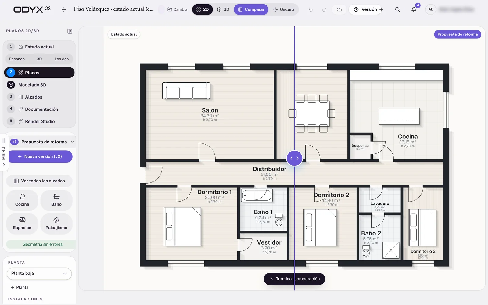
Existing vs proposal versions & comparison Live Keep the original survey, create proposal versions and compare them — demolition and new work shown.
Automatic “Original” version Proposal versions v1, v2… Comparison plan Proposed plan: Professional
Measurements & quantities from the model Live Floor, ceiling, wall (gross and net), perimeter, openings and volume per room — exported or sent to the estimate.
Quantities per room and floor CSV export Space report PDF Estimate by zone Note: Reference quantities derived from the model, not certified site measurements.
Proposed plan: Professional
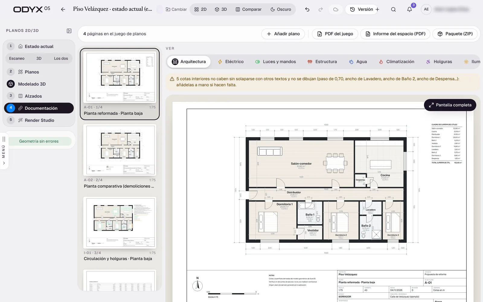
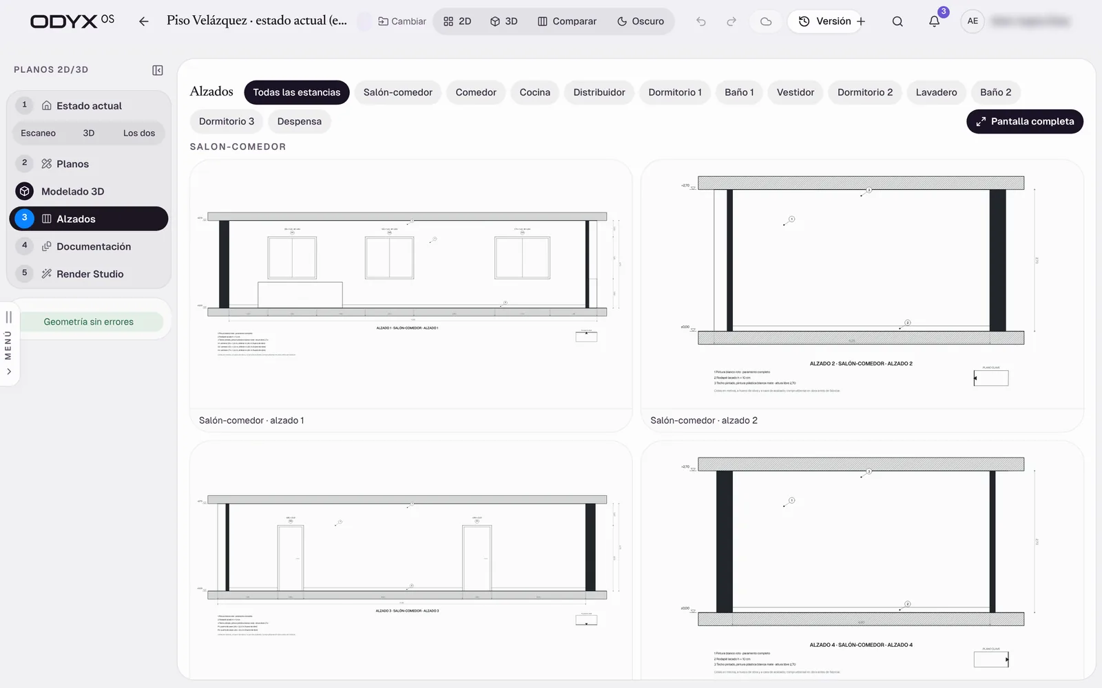
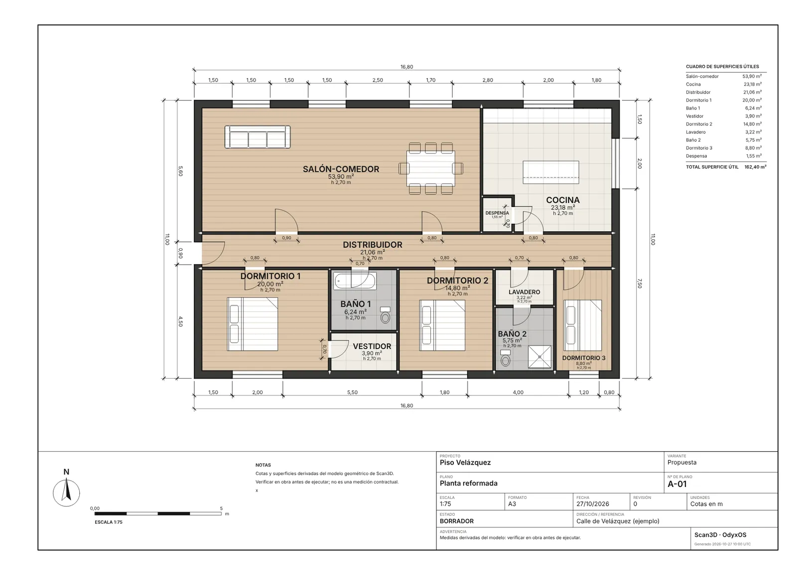
Drawing sets: plans, elevations, sections & installations Live Title-blocked sheets for the existing state and the proposal — electrical, lighting, water, heating (incl. underfloor), structure and landscaping.
Solves: Renovation drawings are outsourced or skipped.
Plans, elevations, sections Installations (MEP) layers Landscape sheets Area schedules PDF set and ZIP package
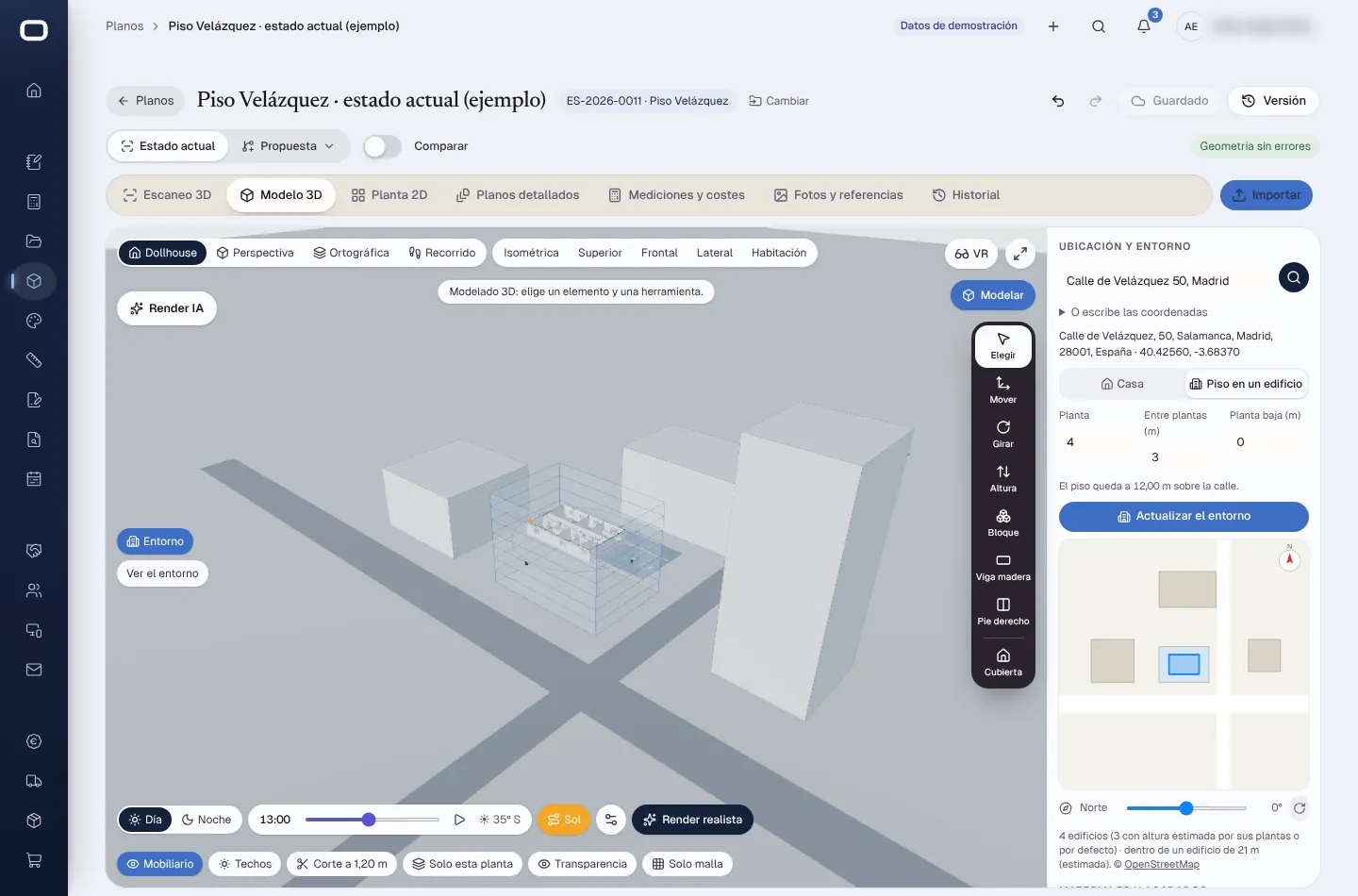
Building in its surroundings Live Place the property on the map, at its floor, with the neighbouring buildings and the real sun path.
Address search City context from OpenStreetMap Sun path by date and hour
3D model, walkthrough & VR Live The plan becomes a 3D model instantly: dollhouse, perspective, walk-through, floors, roofs and timber structure.
Dollhouse and perspective views Floors, roofs and structure Sun and time of day WebXR VR mode Note: VR not yet tried on a headset.
Proposed plan: Professional
Export to PDF, DXF, IFC (BIM), GLB/glTF, OBJ, STL, USDZ and PLY.
DXF and PDF IFC 3D formats for other tools Note: No native DWG export.
Proposed plan: Professional
Read-only drawing links Live Share plans and 3D with clients or partners through a read-only link.
Proposed plan: Professional
Property research report Beta Research a property from its address — cadastral data, registry extract, building data — into a report.
Solves: Surprises about the property appear after the contract is signed.
Address search Agent-assisted research Additional report and single PDF Note: Spain only (Catastro); live external data sources not validated in the audit environment.
Permit pre-check (UK & Barcelona) In development A rules engine that suggests the likely permission route for householder works, with the official source for every rule.
England: permitted development / prior approval / householder route Barcelona: licence regime prediction Note: Every rule is a draft until a qualified reviewer approves it; not to be relied on.